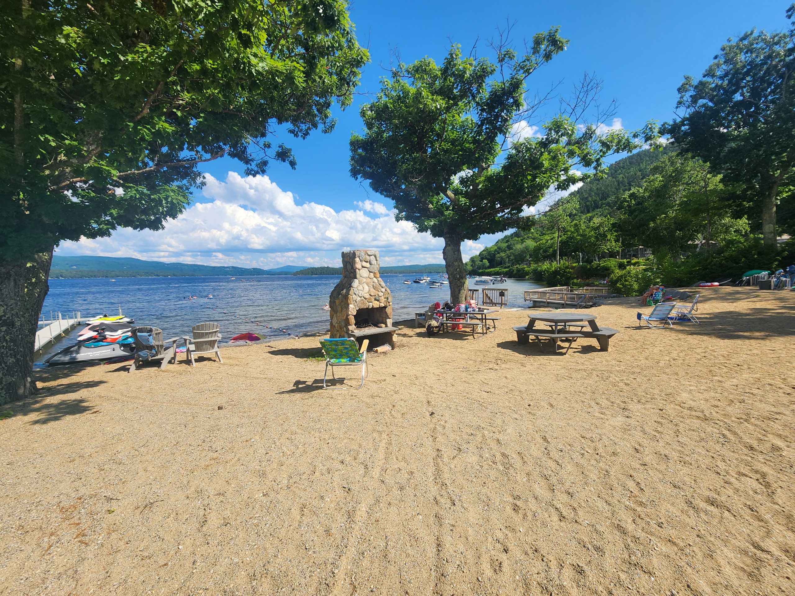
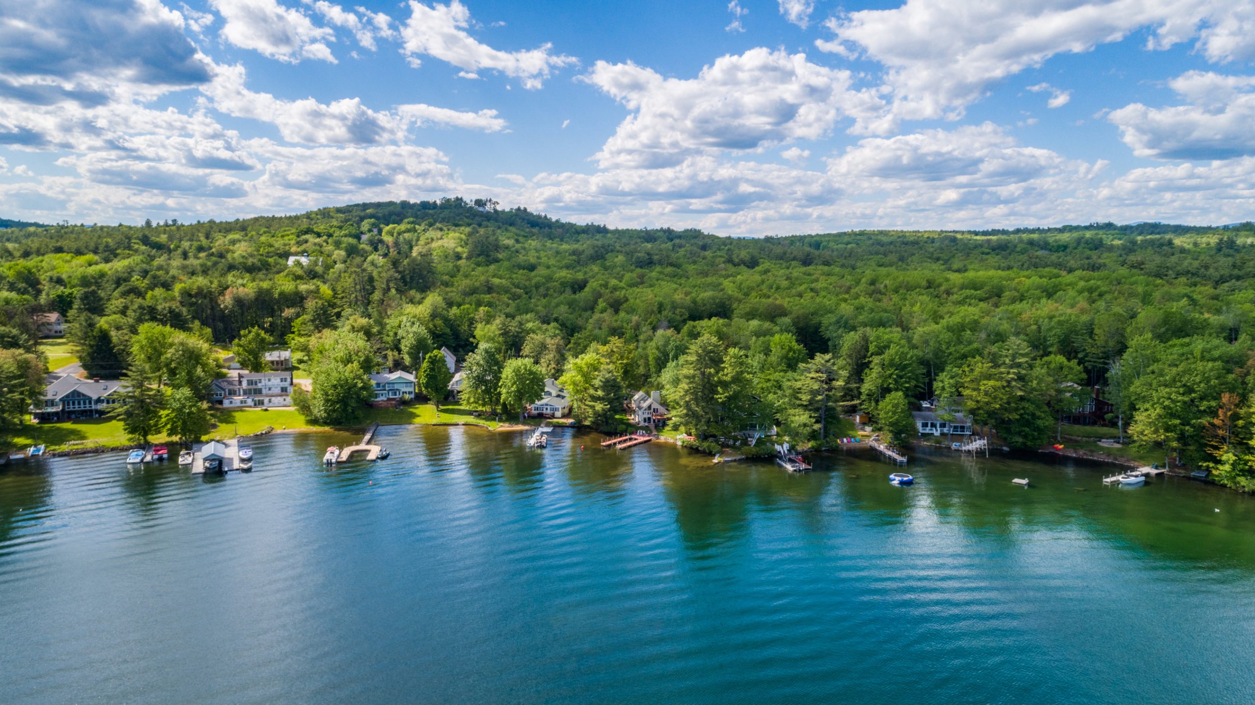
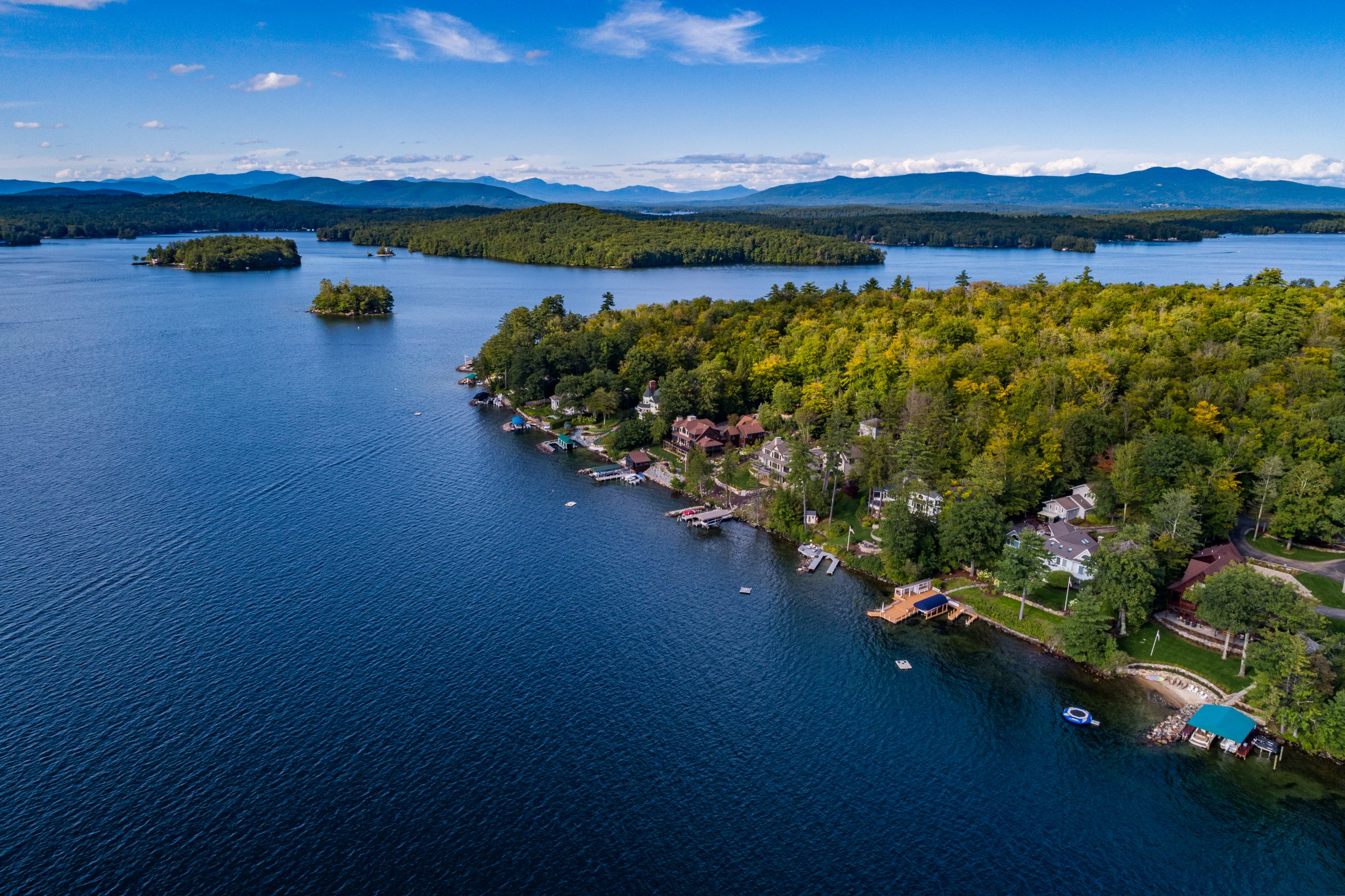
Water.
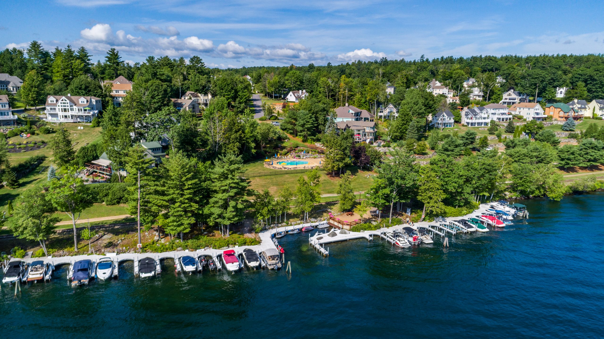
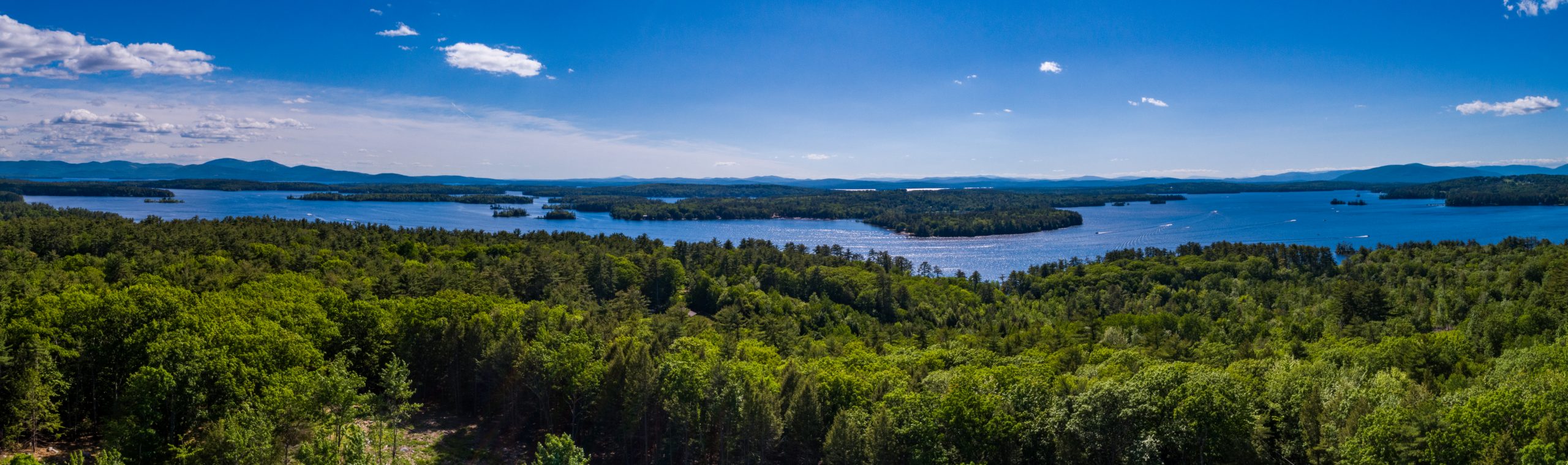
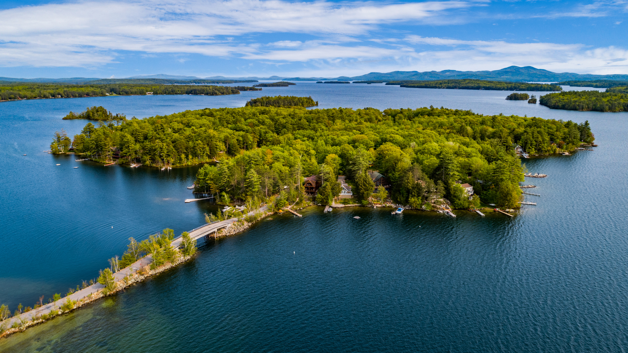
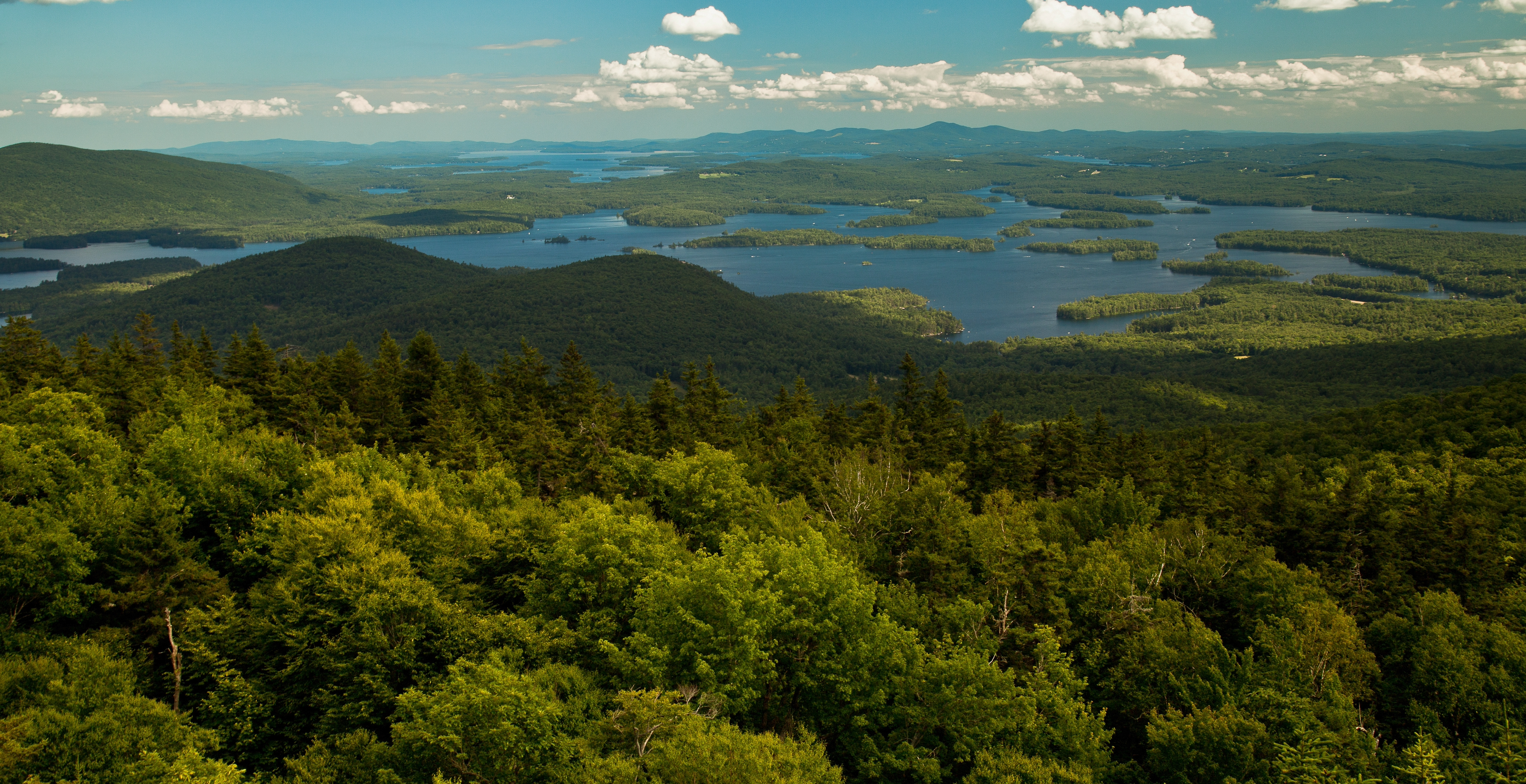
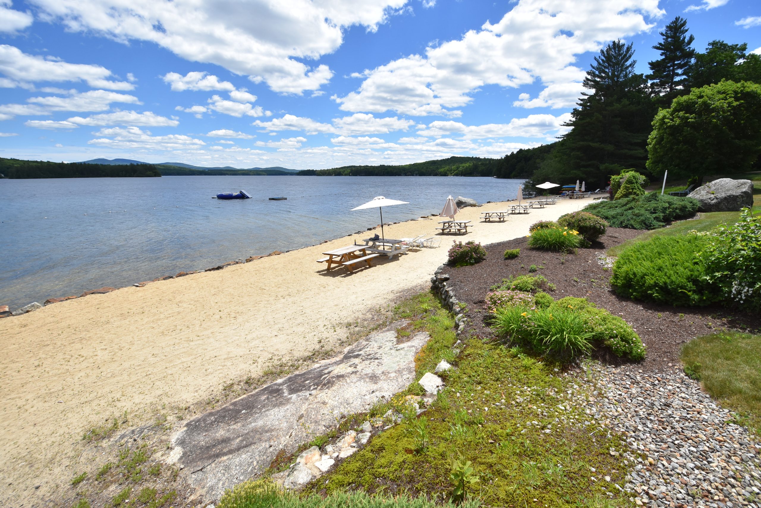
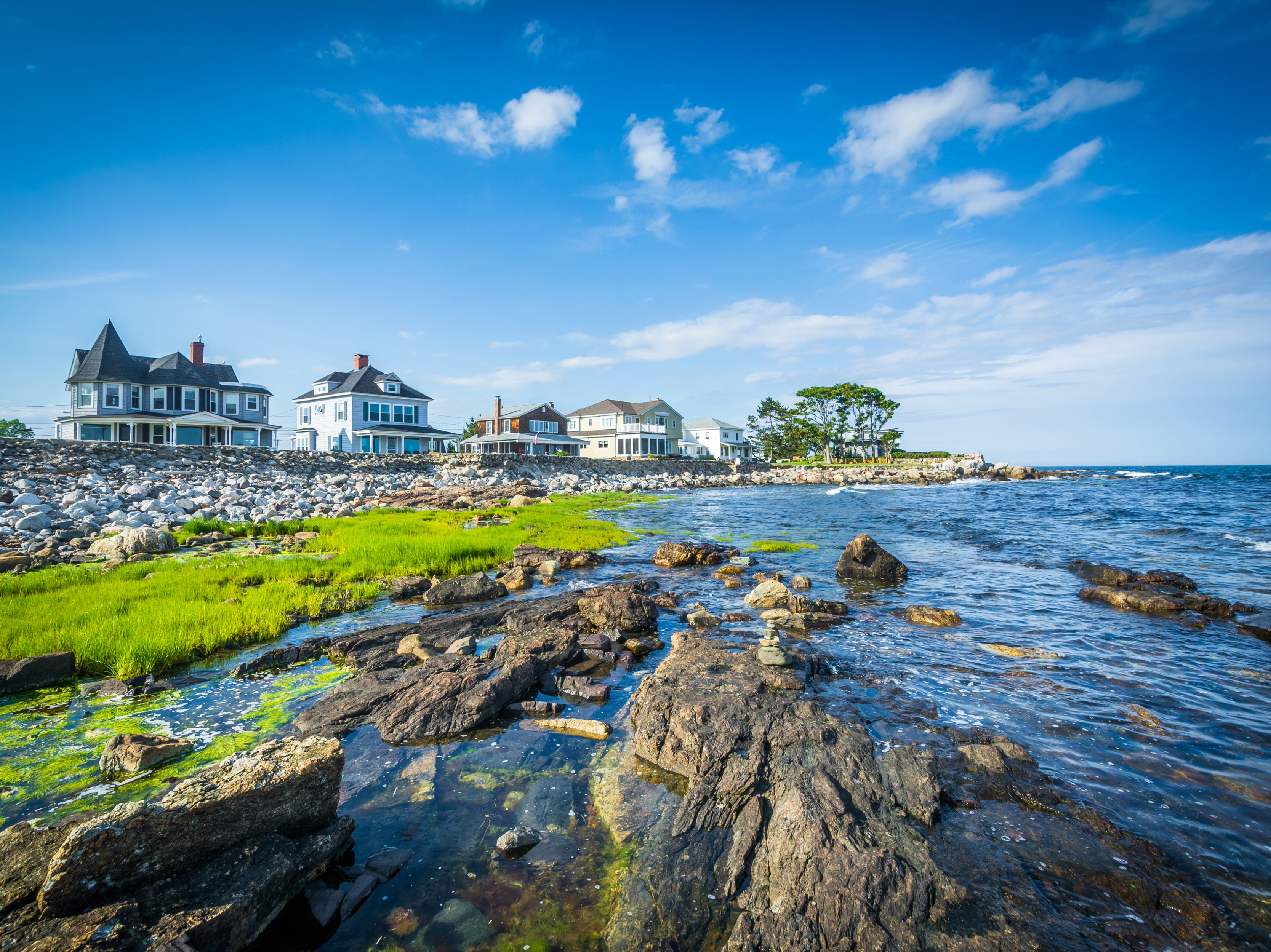
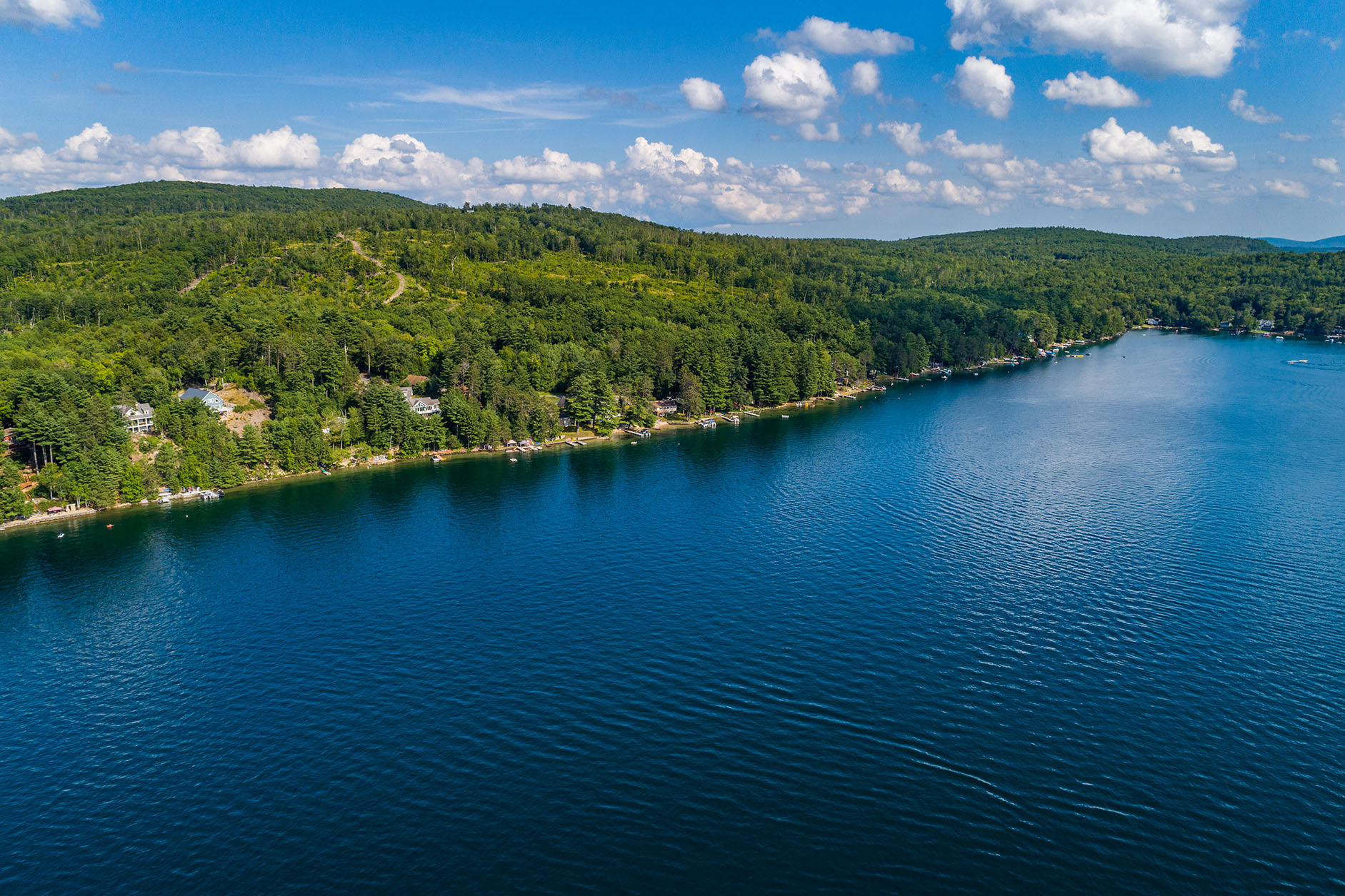
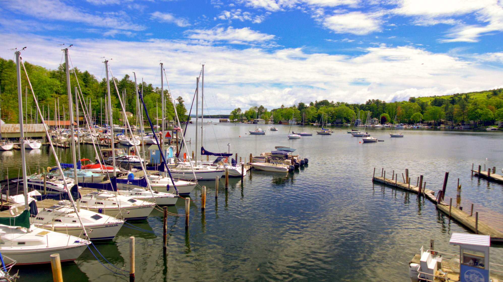
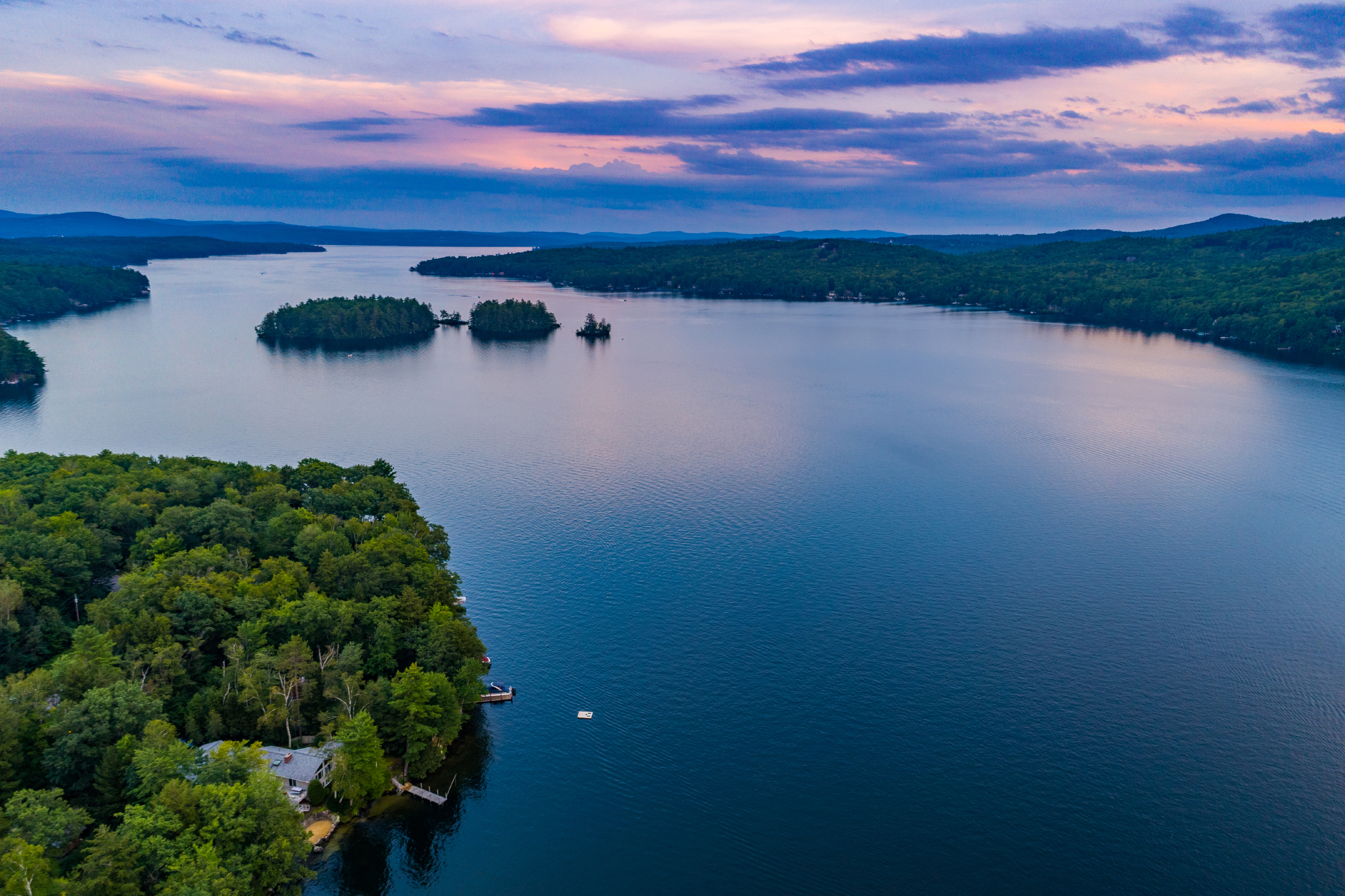
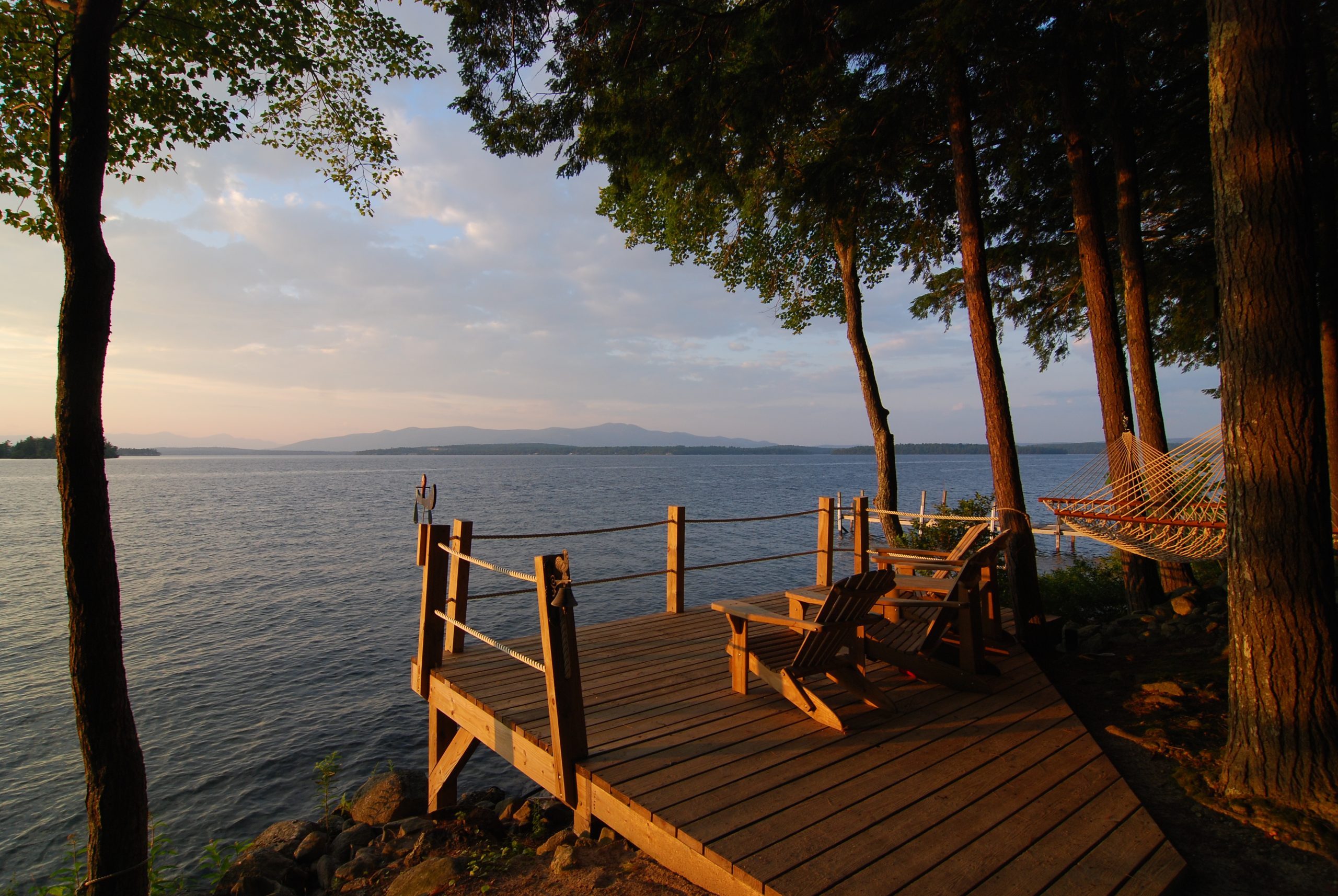
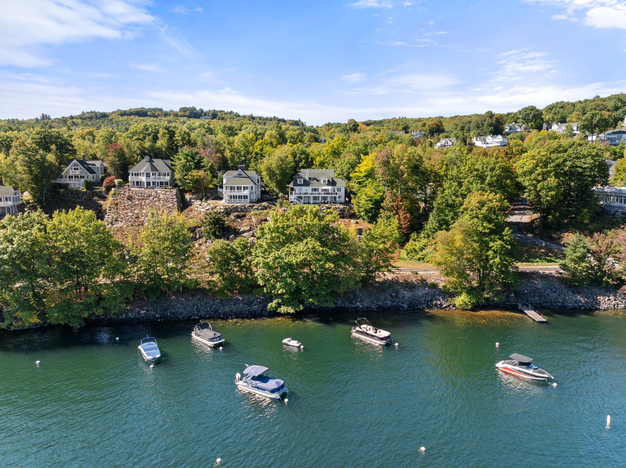
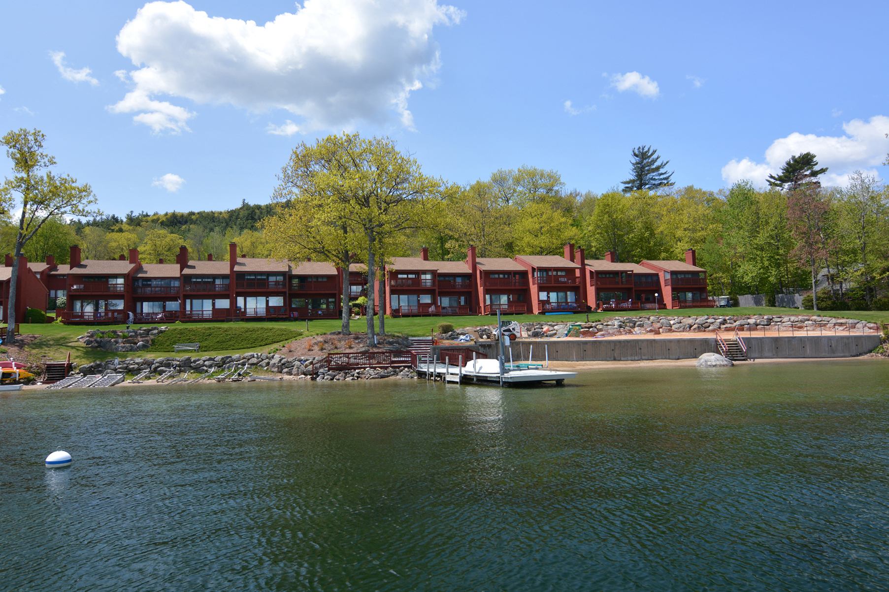
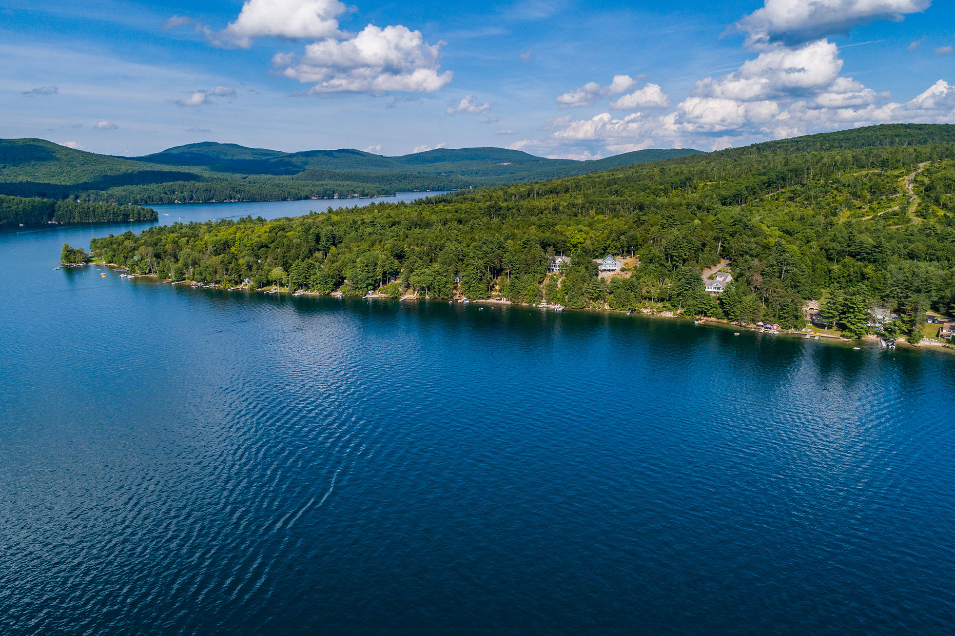
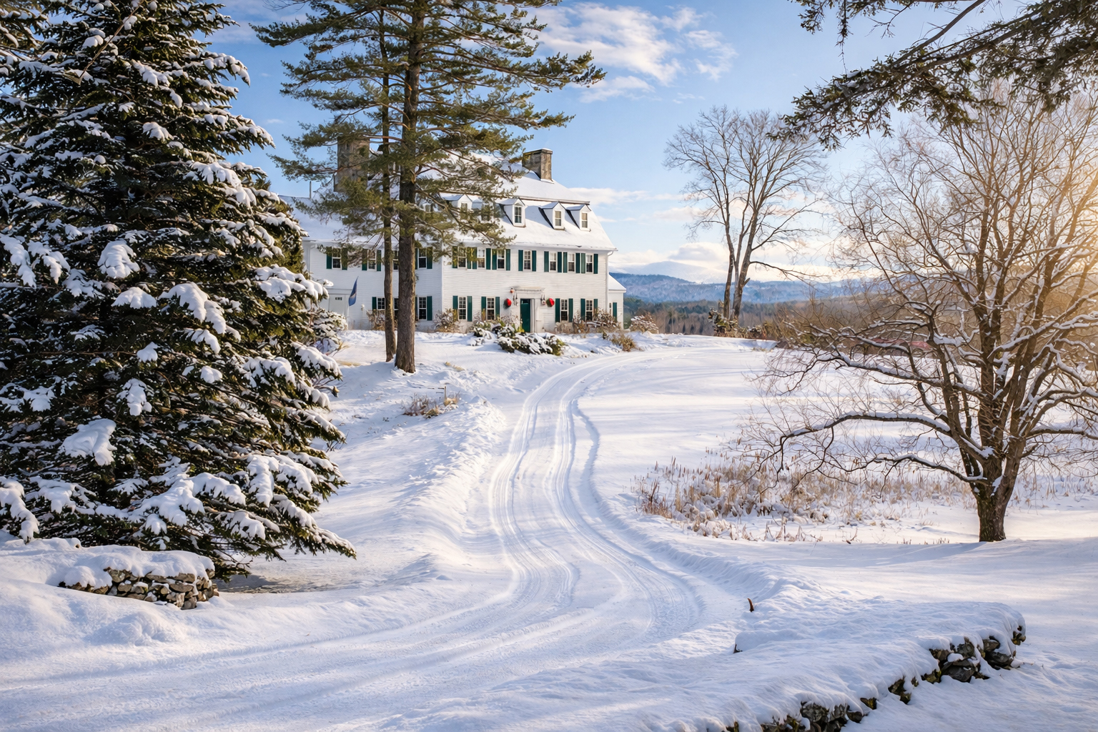
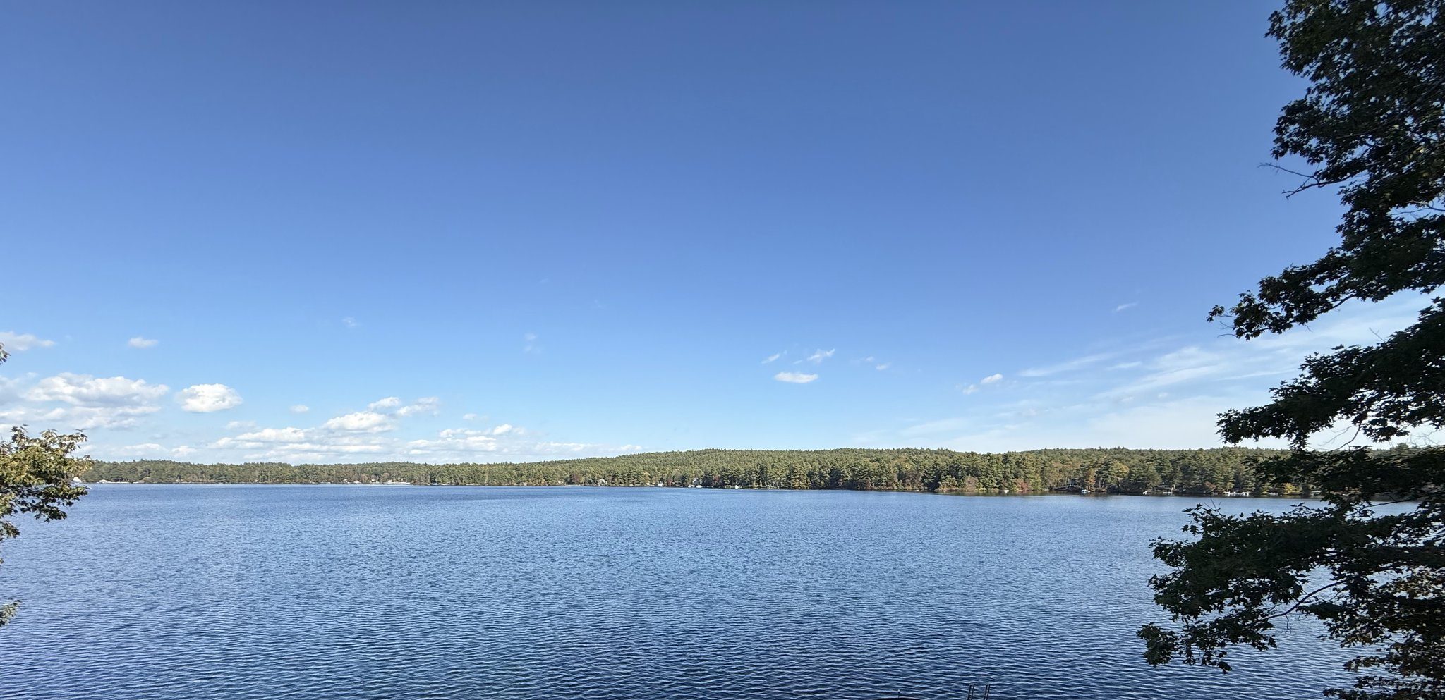
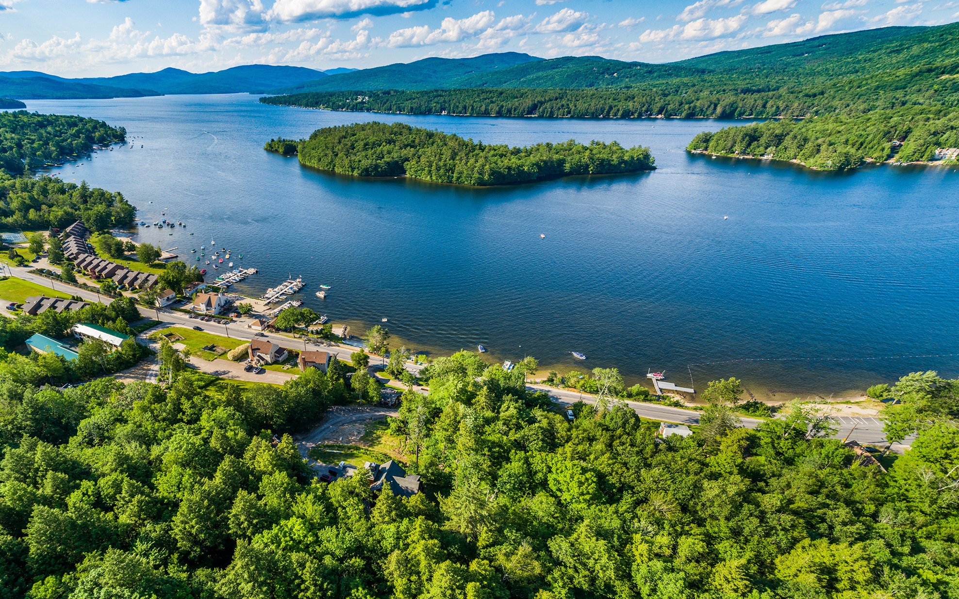
It’s the heart and soul of the Lakes Region of New Hampshire. People come from all over the world to recreate on and in the clean, clear water that makes up our lakes, ponds, and rivers. We all understand the importance of this resource and many of us count on it for our livelihoods.
In a perfect world, no one would want to despoil the quality of the water we count so dear. But, over the years through either a lack of knowledge of how certain actions impact the water quality, or a disregard for their personal actions for personal gains, the water quality in our area has been negatively impacted. Environmental issues such as acid rain have added to the problem.
One dramatic example of lack of knowledge was the dumping of treated effluent into Lake Winnisquam by the city of Laconia in the 1960’s. This action gave a dramatic example of what Nitrogen and Phosphorus can do to fertilize algae. I grew up on Lake Winnisquam, and every summer we swam in a lake covered by a thick layer of green algae that gave the lake the moniker – “pea soup pond”. Since then the dumping has stopped and Lake Winnisquam is one of the cleanest, healthiest lakes in our area. This provides a great example of how remarkably resilient these bodies of water are – if we give them the chance.

In the old days of development on the lakes, very little thought was given to how our actions could impact the quality of the water. Old lakeside septic systems were primitive at best. We didn’t think about lawn fertilizers feeding the algae. The fact that there was no room for the rainwater from the roofs to filter through the earth if we built our homes directly on the water didn’t occur to us. The silt that ran off driveways was disregarded.
The Comprehensive Shoreland Protection Act (RSA 483-B) was enacted July 1, 1994 to provide standards to protect the quality of the water in New Hampshire. It was recently amended and renamed the Shoreland Water Quality Protection Act. The entire law and all of its particulars can be accessed at:
https:/des.nh.gov/organization/divisions/water/wetlands/cspa/index.htm.
I am not a licensed land planner or a lawyer, but I have been involved in training on this law and involved in projects dealing with this regulation. There has been much concern and many questions regarding this piece of legislation and I felt it might be useful if I highlight the law in outline form. I’ll only hit some high points here. The complete legislation also deals with replacing existing structures (both conforming and nonconforming), review periods, alteration permits, the type of fertilizer you can use, and different permit processes for different size projects.
I find understanding the intent of any action or restriction is a way to make more sense of what is being required. What is the intent of this legislation? Clean water? Sure, but how? It seems to me that the object here is to use the natural filtering capability of the soil and the vegetation to “clean” rainwater and runoff of its harmful impurities before it empties into the lakes, ponds, and rivers. If I think in these terms, the intent of the regulation becomes pretty logical. Keep as big a filter as you can.
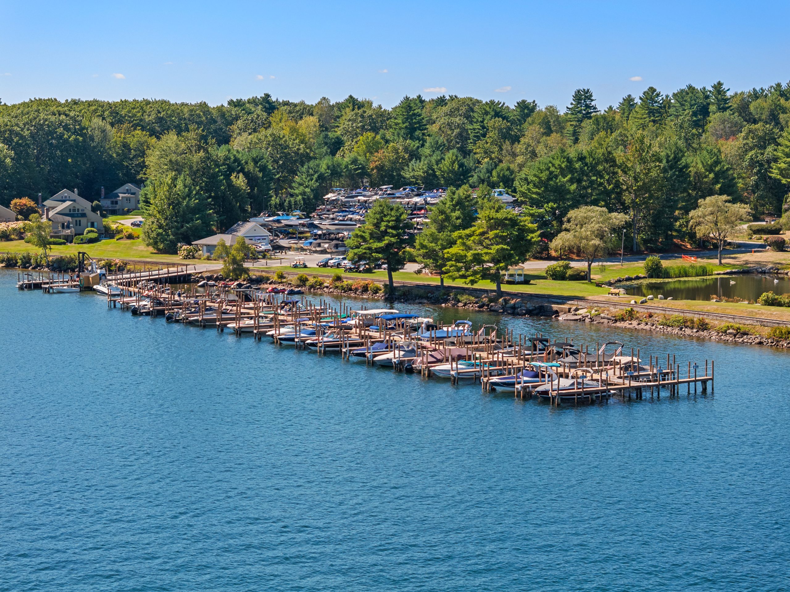
The RSA deals with all property within 250 feet of any body of water greater than 10 acres, or a major river or stream. There is a complete list of these on the DES website referenced above. The act breaks down the 250 feet into three zones – the Waterfront Buffer-50 feet from the “reference line” on the waterfront (this is where the surface elevation of that body of water, again listed on the DES website, meets the shore,), the Natural Woodland Buffer – 150 feet from the “reference line”, and the Protected Shoreland 250 feet from the “reference line”.
All primary structures must be set back at least 50 feet from the reference line. Towns may require greater setbacks. The act regulates what activity can occur in this 50 setback. Essentially this involves tree and vegetation maintenance and removal, and fertilizer and pesticide applications. Trees can be removed, but the extent of the removal is managed by a 50 x 50 foot grid and point system. The land is divided into 50 foot grids starting at the northern end of the shoreline. If the total shorefront is not divisible by 50, then the last grid would be a proportion of a full grid and assigned an appropriate portion of points. Each 50 x 50 foot grid is required to have a total of 50 points of trees and vegetation based on a scale using the diameter of the trunks of the trees at 4.5 feet up the trunk on the uphill side (the table for the scores is on the website). For example, if you had two trees that were greater than 24” in diameter in the 50 x50 foot grid, you have met the requirement and can remove the rest. Hopefully you won’t, but you can. Branches may be trimmed, pruned and thinned to the extent necessary to protect structures, maintain clearances, and provide views. You can only limb branches on the bottom half of the trees to provide views.
The next buffer at 150 feet from the reference line (the Natural Woodland Buffer) has the restriction that at least 25% of the area between 50 feet and 150 feet must be left in a natural state.
The rest of the area out to 250 feet from the reference line is the Protected Shoreline. No more than 20% of the surface area of the total lot can be made impervious without a stormwater management plan, and more than 30% being made impervious requires a professionally engineered stormwater plan.
The word “impervious” is key here. Impervious is defined as “not allowing fluid to pass through”. A standard roof on a building is “impervious” and doesn’t let water in. This would count toward the 20 to 30%. Standard pavings would also be “impervious”, but there are “pervious” paving solutions that would allow coverage of the lot if necessary, but not count towards the lot coverage figure.
If a lot was legally developed prior to July 1, 2008, and the lot has cleared areas within the waterfront buffer such as existing lawns and beaches, you are not required to replant or restore these areas and you may continue to maintain these areas.
There are many things one can do without a permit. Those are listed at: www.des.nh.gov on the Shoreline Program Page.
Again, this is just a broad overview for general information purposes. If you have any questions, I’d be glad to help. If I don’t have an answer, I’d be glad to send you in the right direction.
Kim Cedarstrom is a licensed residential and commercial Realtor® at Roche Realty Group. Kim can be reached at kcedarstrom@rocherealty.com or at 603-520-6609 (cell) or (603) 279-7046 (office).